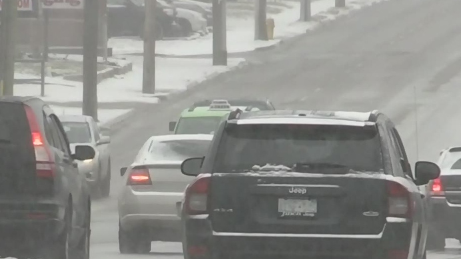
The winter storm we were all promised seems to have spared most of southwestern Ontario with the worst of it heading to the U.S. Northeast.
The system stretching from Windsor to the Quebec border is still expected to dump snow on the more eastern parts of the province Tuesday, but it seems southwestern Ontario has been spared the worst.
A snow squall watch does remain in effect of Windsor-Essex and Chatham-Kent.
Hamilton, Burlington and the Niagara regions have been the hardest hit so far. Meanwhile areas like London, and Windsor have seen a fraction of the snowfall originally forecasted.
The region was not without its issues however with emergency crews dealing with several collisions Monday including one in Chatham-Kent that resulted in three people sustained non-life threatening injuries.
Toronto’s Pearson airport is still experiencing some delays and is asking travelers to check ahead.
Toronto was expected to see up to 20 centimetres by Tuesday evening but total accumulation may be half that amount.
(With files from the Canadian Press)
