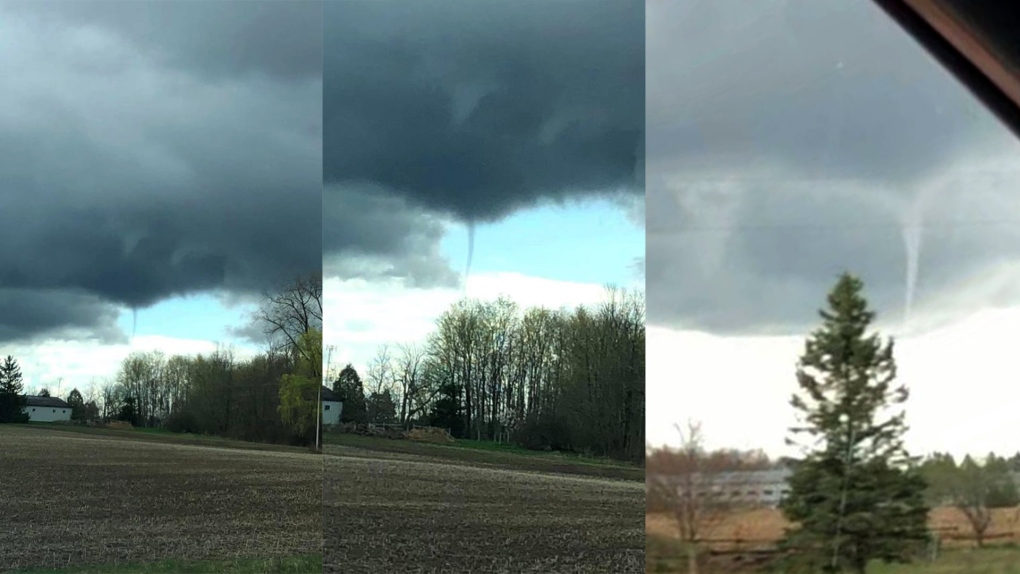
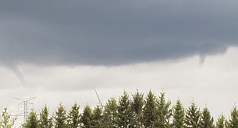
LONDON, ONT. -- It was a scary sight Monday for some, as viewers in the region spotted funnel clouds forming.
Residents who thought they saw a funnel and some ominous looking clouds were not mistaken, but this type of funnel is much less destructive than a funnel that would be associated with a supercell thunderstorm.
What you may have witnessed is called a cold core funnel.
Cold core funnels can form beneath showers and weak thunderstorms. They are most common in transitional seasons, like spring and fall.
This type of funnel cloud forms when the sun heats up the lower levels of the atmosphere -- it causes convection to bubble up forming showers and isolated thunderstorms.
This type of weather phenomenon occurs when there are cool and breezy conditions in the lower levels of the atmosphere.
This air mixes with air in the middle troposphere. If the winds in the troposphere are moving in a different direction, this can produce vertical speed shear and can result in rotation.
If those rotations then encounter an updraft under a convective cloud, the vortex tilts upward, and the rotation is now vertical. This also requires some cold air in the upper levels of the atmosphere.
All of these ingredients were present in the area on Monday afternoon.
Cold core funnels were visible just outside of London, with reports from Dashwood, Lobo and Mitchell.
This type of funnel cloud is usually harmless. Only on very rare occasions can a cold core funnel can touch down with-EF-0 level winds.
Always be weather aware!


