LONDON, ONT. -- Environment Canada has issued a special weather statement warning of heavy rain, strong winds and a risk of freezing rain Saturday into Sunday.
The system will start as light rainfall as a warm front moves into the Ohio Valley Thursday night and an area of low pressure reaches the Upper Great Lakes.
Another low will develop Friday in the southern Plains and will move northeast into the Ohio Valley by Friday night into Saturday.
The steady rain and mild temperatures will move in Friday afternoon, daytime highs will climb between six and eight degrees Celsius Friday into Saturday.
This system is showing an unusually high amount of moisture for January with rainfall amounts between 50 and 75 millimetres.
A slow-moving frontal boundary will stall across the Great Lakes Saturday, leading to periods of rain.
The setup of this boundary is crucial to the freezing rain line that will move into the area, and this line of freezing precipitation can and will likely shift leading to a wintery mix.
The freezing rain will initially impact Midwestern Ontario early in the day Saturday, and could drift southward late Saturday afternoon.
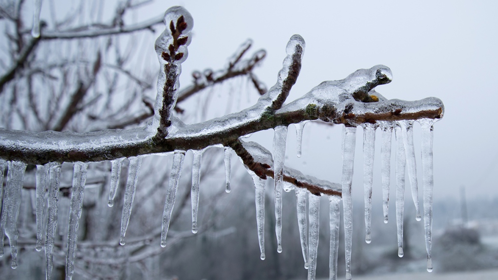
There is the risk for a prolonged period of freezing rain and for significant ice accretion on all surfaces.
The frozen ground will mean heavy run off into rivers and streams, and people should prepare for localized flooding.
Rain changes to freezing rain or ice pellets Saturday, and Saturday night cold air will start to fill into the system from the north. Precipitation will change over to light snowfall early Sunday morning in London.
The weekend storm exits east on Sunday and precipitation will come to an end by the afternoon.
The storm's impact will be felt across southern and eastern Ontario, and will stretch its way into southern Quebec and the Maritimes.
Power outages are possible, and drivers should plan ahead if they’re heading out and anyone flying should check their flight status before leaving.


