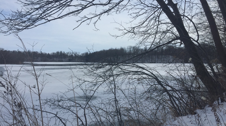
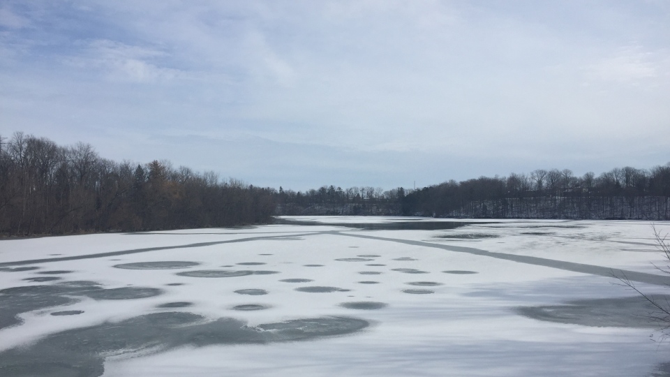
ST. THOMAS, ONT. -- Conservation authorities are warning people to stay well clear of waterways as the region could get drenched with a month’s worth of rain within a couple days.
The Kettle Creek Conservation Authority says forecasts are predicting 70-90 millimetres of rain beginning Thursday evening and ending late Saturday, with the heaviest precipitation on Saturday.
“So for our watershed that’s a significant event,” says general manager Elizabeth VanHooren. She says typically the watershed would receive about 75 millimetres of precipitation in a month.
With the frozen or wet ground conditions throughout the watershed a lower forecasted rain event will result in full bank conditions.
The higher end of the prediction would lead to flooding in low-lying areas.
“With the thaw coming, the rain is not going to absorb into the land, so we expect the creek levels really to rise fast,” she says.
“The water will be moving swiftly and it will be extremely cold. So really, we're cautioning people to stay away from all water systems at this time. We don't expect flooding- probably in more of the low lying areas if we get that full extent of the precipitation.”
Residents are reminded to take extreme caution around waterways, as banks will be slippery. Parents are reminded to keep children and pets away from watercourses.
Strong wind gusts coming out of the southwest may also lead to flooding along the Lake Erie shoreline, with the potential for shoreline erosion, warned VanHooren.
“The waves are going to be pushing up higher on shore than normal, and certainly when the lake levels are that high, and the winds coming from south-southwest, the chance for erosion increases.”
Right now Lake Erie is about seven centimetres higher than average she said.
The flood outlook is in effect until Monday at noon.


