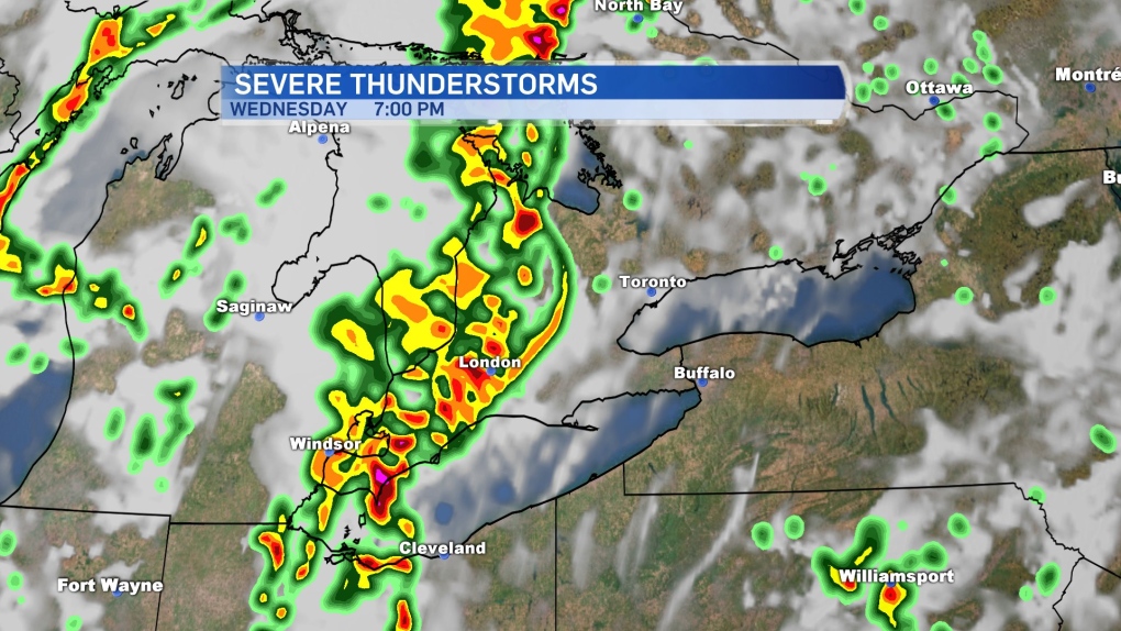
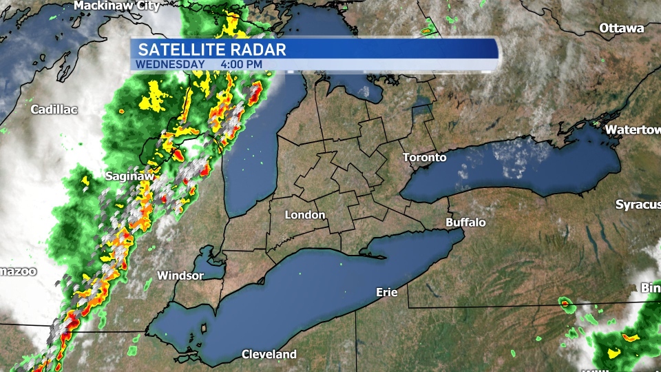
LONDON, ONT. -- A strong line of storms raced across Southwestern Ontario late Wednesday afternoon and into the evening, knocking trees down, bringing heavy rain and even hail in some areas.
Environment Canada even issued a tornado warning for the London area at 8:46 p.m. but cancelled it seven minutes later at 8:53 p.m.
The heat and humidity soared Wednesday afternoon in advance of a cold front that is sparking the active weather.
The main threats are damaging wind gusts to 110 km/h which may cause power outages. Torrential downpours and large hail is also possible.
The temperature was forecast to hit a high of 31C Wednesday, feeling close to 40. The record on this day, 31.4C, was set back in 1999.
The cold front will cross late this evening, and a much cooler air mass moves in for Thursday.
The weekend will feature cool, comfortable conditions.
Have a plan if severe weather strikes. When thunder roars, go indoors, and stay alert with current advisories issued by Environment Canada.
Heat warnings remain in place, but the passing of the cold front will drastically drop the temperatures and humidity levels.
You can see the long range forecast on our weather page.


