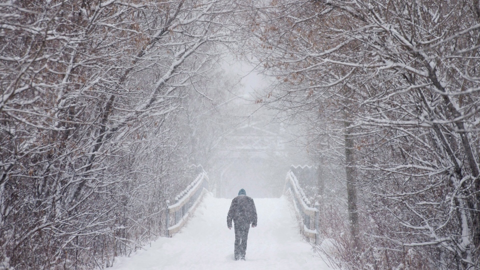
LONDON, ONT. -- A snowfall warning is in effect for Southern Ontario.
Anywhere from 15 to 20 centimetres of snow is expected across Ontario as a wide swath of moisture rolls in Saturday morning.
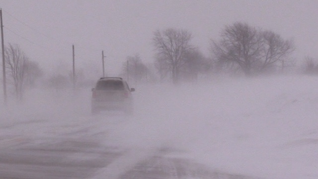
The snow made for treacherous driving conditions across the region.
The westbound 401 was closed from Orford Road to Furnival Road for a collision. It reopened around 2 p.m.
Police are reminding motorists to leave plenty of space between your vehicle and the one in front of you. Drivers should leave early allowing plenty of time to reach destinations safely.
The snow started in London around 4 a.m. Saturday and continued through the day.
The initial snow will be light and fluffy with colder air to start.
As the air warms the snow will have a much higher moisture content leading to heavier snow.
Milder temperatures by the afternoon could lead to a brief change over to drizzle late Saturday afternoon in London.
But the mild air will be short-lived, as cold air will wrap back in. Flurries are expected to redevelop Saturday night, and temperatures will drop back below freezing.
Areas north of London won’t see the changeover to drizzle or rain, instead snow will continue through the day and into Saturday night.
Flurries and snow squalls will follow Sunday, with blowing snow through the day and gusty winds into Sunday night.
Southwest winds gusting up to 90 km/h are possible Saturday night along the Lake Erie shore as the low pressure system moves through. Power outages are possible.
The storm's impact will be felt across Ontario, and will stretch its way into southern Quebec and the Maritimes Sunday.
Drivers should plan ahead if they’re heading out and anyone flying should check their flight status before leaving.


