Watches and warnings lifted for the region, fog advisory now in effect
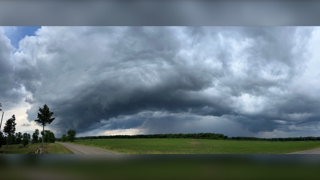
Only a fog advisory remains in effect Wednesday morning after an afternoon and evening of advisories for funnel clouds and thunderstorms.
Near-zero visibility is expected in the London area but it will clear later in the morning.
According to CTV News London meteorologist Julie Atchison, sun and cloud is expected Wednesday.
"We've been under the influence of a cold core low in the mid-levels of the atmosphere. It will weaken through Wednesday and slowly drift off to the east. The next weather-maker to move in will be a cold front on Thursday and that will be the next opportunity for showers," she said.
Temperatures for the next few days will be slightly below normal before jumping back up for a very warm weekend on the way.
Here's a look at the rest of the forecast
Wednesday: Cloudy. 40 per cent chance of showers early this morning. Becoming a mix of sun and cloud this afternoon. Fog patches dissipating this morning. High 20. UV index 7 or high.
Wednesday Night: Clear. Increasing cloudiness after midnight. Fog patches developing near midnight. Low 9.
Thursday: Cloudy. 40 per cent chance of showers in the afternoon with risk of a thunderstorm. Fog patches dissipating in the morning. High 22. UV index 6 or high.
Friday: A mix of sun and cloud. High 23.
Saturday: Sunny. High 26.
Sunday: Sunny. High 27.
Monday: A mix of sun and cloud. High 27.
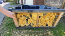
Viewer Submitted Photos
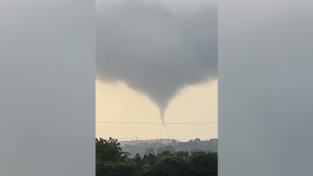 A funnel cloud seen near Beachville, Ont. on June 13, 2023. (Source: Kennedy Kaufman)
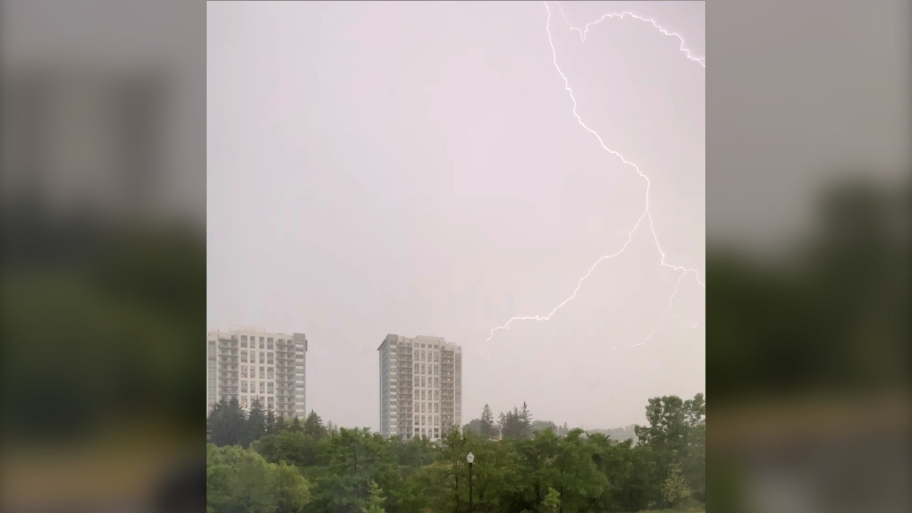
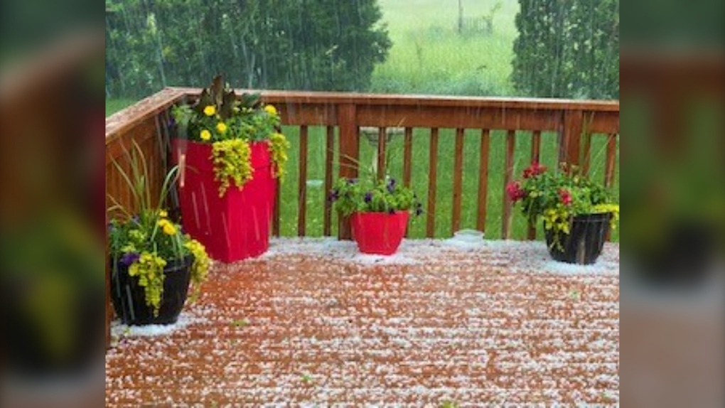 (Source: Cathie Leonetti)
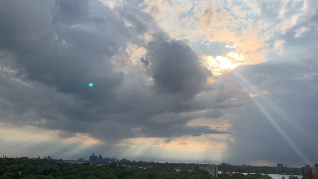
 (Source: Rhonda Sutherland)
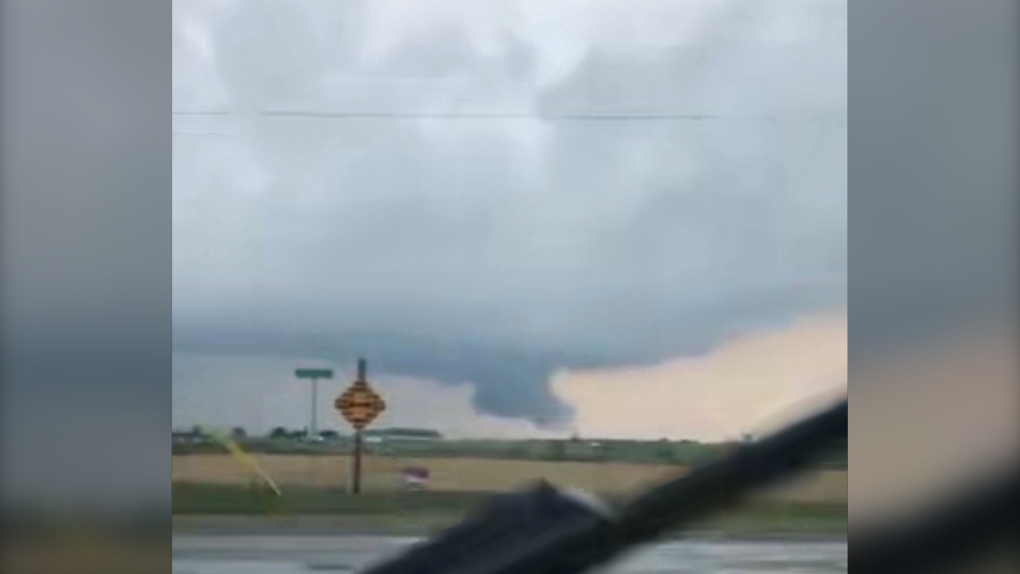
 (Source: Bianca Bigotti)
 (Source: Linda Labute)
 (Source: Courtney Beaudry)


CTVNews.ca Top Stories
Canadian gov't proposes new foreign influence registry as part of wide-spanning new bill
Prime Minister Justin Trudeau's government is proposing a suite of new measures and law changes aimed at countering foreign interference in Canada, amid extensive scrutiny over past meddling attempts and an ever-evolving threat landscape.
Boeing Starliner capsule's first crewed test flight postponed
The long-awaited first crewed test flight of Boeing's new Starliner space capsule was called off for at least 24 hours over a technical issue that launch teams were unable to resolve in time for the planned Monday night lift-off.
Teacher charged in historical sexual assault of Calgary teenage girl
Calgary police have charged a teacher with the alleged sexual assault of a teenage girl more than 20 years ago.
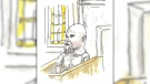
Winnipeg man admits to killing four women, argues he's not criminally responsible
Defence lawyers of Jeremy Skibicki have admitted in court the accused killed four Indigenous women, but argues he is not criminally responsible for the deaths by way of mental disorder – this latest development has triggered a judge-alone trial rather than a jury trial.
Man banned from owning animals after fatal Calgary dog attack
The owner of three Calgary dogs that got loose and mauled a woman to death in 2022 has been ordered to pay a $15,000 fine within one year and banned from owning any animal for 15 years.
East-end Ottawa family dealing with massive rat infestation
Residents in Ottawa’s Elmridge Gardens complex are dealing with a rat infestation that just won’t go away. Now, after doing everything they can to try to fix the issue, they are pleading with the city to step in and help.
Mediterranean staple may lower your risk of death from dementia, study finds
A daily spoonful of olive oil could lower your risk of dying from dementia, according to a new study by Harvard scientists.
An El Nino-less summer is coming. Here's what that could mean for Canada
As Canadians brace themselves for summer temperatures, forecasters say a weakening El Nino cycle doesn’t mean relief from the heat.
Newfoundland and Labrador latest province to tighten rules on Airbnbs
Newfoundland and Labrador is the latest jurisdiction to bring in stricter rules for short-term rentals, with a coming set of regulations that will force operators to register with the provincial government.
Shopping Trends
The Shopping Trends team is independent of the journalists at CTV News. We may earn a commission when you use our links to shop. Read about us.