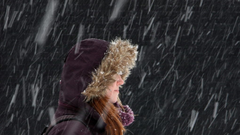
LONDON -- If your idea of Christmas includes snow on the ground, and light flurries on Christmas morning, this year Santa may not deliver on that front.
The latest forecast models for London, Ont., are indicating a greater probability of above-normal temperatures and above-normal precipitation.
Between 1955 and 2011 there was a 70-per-cent chance of a white Christmas, between 2011 and 2018 this number dropped to 68 per cent.
When we look at the change in frequency over the last 30 years, the probability of a white Christmas has declined 25 per cent.
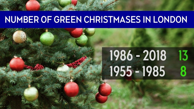
The definition of a white Christmas, according to Environment Canada, is two centimetres or more of snow on the ground by 7 a.m. on Christmas morning.
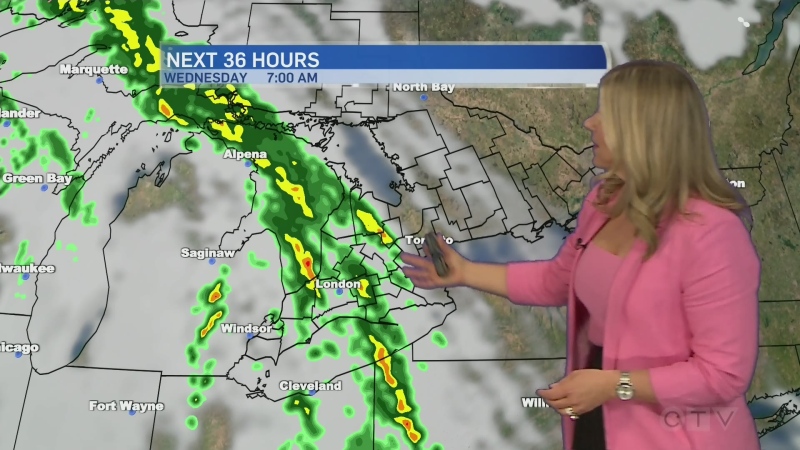
The December storm track looks active, but the latest models are indicating that the next series of systems will bring rain to the area, followed by wet snow mixing in.
That doesn’t bode well for snow cover.
With limited snow on the ground, the weather right before the big day will determine if we get a white Christmas.
There are a few systems set to take shape and move into the lower Great Lakes as we edge closer to the big day, but each system is showing rain, with a mix over to snow.
The game changer will be the potential for lake effect snow squalls on the back end of one of these systems.
When analysing the long-range forecast models meteorologists look for weather patterns, and trends.
This year, we have a neutral pattern in place. This means El Nino and La Nina are a no-show.
Looking at trends is the next step, and short predictions like the polar vortex will drive weather patterns.
The polar vortex could spill some very cold air towards the Great Lakes basin.
This would lead to lake-effect snow and a blast of icy cold. That doesn’t seem to be in the cards before Christmas.
If you are still holding out hope for a white Christmas, Boler Mountain will have snow on the big day.
They’ve had their earliest opening in 30 years this season.
