LONDON, ONT. -- With just a few days left in February, a blast of winter weather has returned to southern Ontario.
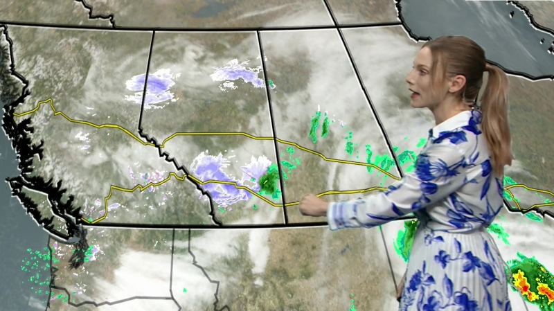
Snowfall started late Tuesday night, and a steady snowfall continued through Wednesday. Steady snow in London will taper to flurries by Thursday morning.
Snowfall rates with the low pressure system moving by to the south have been between five and 10 centimetres so far in London and surrounding area.
In Midwestern Ontario the snow is piling up, between 15-25 cm is expected by Thursday morning.
Cold northwest winds will usher in a blast of cold Wednesday night. This will generate lake effect snow squalls.
A snow squall watch has been issued for Grey, Bruce, northern Huron and northern Perth counties.
Snow squalls will ramp up Thursday and Friday, and continue into Saturday.
Some snow squalls may become particularly intense causing heavy snow and blowing snow well inland of Lake Huron and Georgian Bay.
Weather conditions could vary considerably; with changes from clear skies to heavy snow within just a few kilometres likely.
Visibility may be suddenly reduced at times in heavy snow.
The temperatures will drop off Wednesday evening and the temperature overnight dropping to -7C in London, the wind chill overnight between -15 and -18.
The icy cold will continue into Friday, which is the end of meteorological winter, the three coldest months of the year: December, January and February.

