Much of the London region is under a special weather statement.
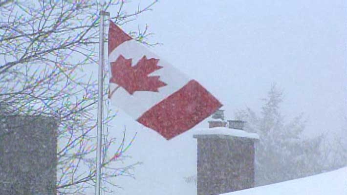
Environment Canada says 10 to 20 centimetres of snow is possible, starting Saturday evening and ending early Monday.
A low pressure system in Colorado is expected to track towards the central Great Lakes later this weekend and impact southwestern Ontario.
Current information suggests the precipitation will fall primarily as snow, but with a possibility of changing over to rain early Monday morning, particularly near the shores of Lake Erie.
Meanwhile Grey-Bruce is under a snow squall warning.
Lake effect snow activity will continue Saturday. Additional snowfall accumulations of 10 centimetres are possible in the strongest snow squalls.
The snow squalls are expected to slowly drift northward as winds become a little more westerly.
Visibility will be suddenly reduced to near zero at times in heavy snow and blowing snow. If visibility is reduced while driving, slow down, watch for tail lights ahead and be prepared to stop. Consider postponing non-essential travel until conditions improve. Road closures are possible.
